Customer Service:
Mon - Fri: 8:30 am - 6 pm EST

 Historical

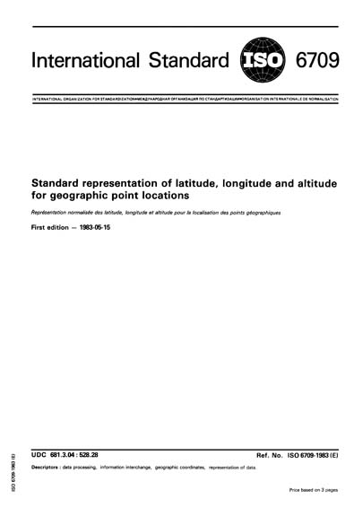
ISO 6709:1983

Standard representation of latitude, longitude and altitude for geographic point locations

Describes a variable-length format for the representation of latitude, longitude and altitude for use in data interchange. Allows the use of normal sexagesimal notations involving degrees, minutes and seconds as well as various combinations of sexagesimal and decimal notations. Uses numeric characters 0 to 9, graphic characters plus (+), minus (-), full stop (.) and comma (,).


Content Provider
International Organization for Standardization [iso]

Others Also Bought

Geographic information - Spatial schema
Geographic information - Metadata
Geographic information - Location-based services - Tracking and navigation
Document History
Revised By:
Included in Packages
This standard is not included in any packages.
Amendments & Corrections
We have no amendments or corrections for this standard.
ANSI Logo

As the voice of the U.S. standards and conformity assessment system, the American National Standards Institute (ANSI) empowers its members and constituents to strengthen the U.S. marketplace position in the global economy while helping to assure the safety and health of consumers and the protection of the environment.

CUSTOMER SERVICE
NEW YORK OFFICE
ANSI HEADQUARTERS