Customer Service:
Mon - Fri: 8:30 am - 6 pm EST

 Most recent

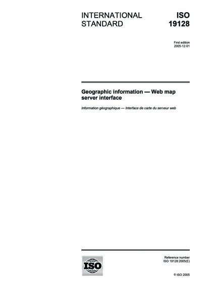
ISO 19128:2005

Geographic information - Web map server interface

ISO 19128:2005 specifies the behaviour of a service that produces spatially referenced maps dynamically from geographic information. It specifies operations to retrieve a description of the maps offered by a server, to retrieve a map, and to query a server about features displayed on a map. ISO 19128:2005 is applicable to pictorial renderings of maps in a graphical format; it is not applicable to retrieval of actual feature data or coverage data values.


Content Provider
International Organization for Standardization [iso]

Others Also Bought

Geographic information -- Functional standards
Geographic information - Metadata - XML schema implementation
Geographic information - Services
Document History
We have no document history for this standard.
Included in Packages
This standard is not included in any packages.
Amendments & Corrections
We have no amendments or corrections for this standard.
ANSI Logo

As the voice of the U.S. standards and conformity assessment system, the American National Standards Institute (ANSI) empowers its members and constituents to strengthen the U.S. marketplace position in the global economy while helping to assure the safety and health of consumers and the protection of the environment.

CUSTOMER SERVICE
NEW YORK OFFICE
ANSI HEADQUARTERS